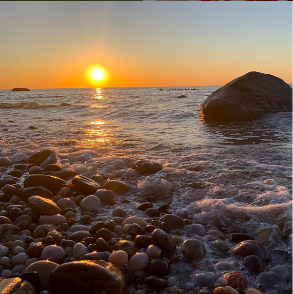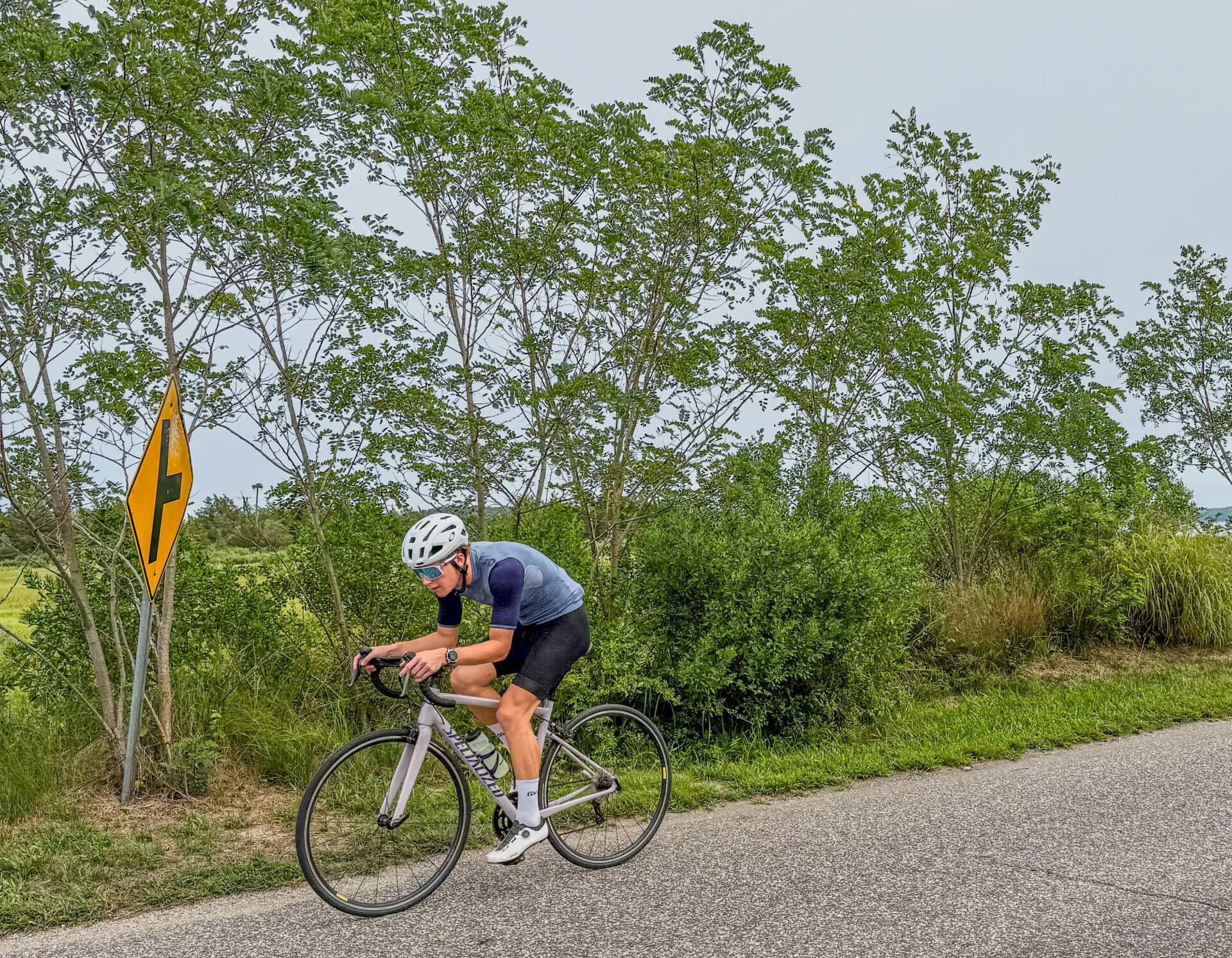
There’s something enchanting about gliding down a country road on a bicycle. Maybe it’s the cooling breeze on a hot day or the way a shift in your weight moves your iron horse around a bend in the road. Maybe it’s the feeling that comes from moving through space under your own power. When you use your legs to see the creeks and bays and climb the hills of the North Fork, an old-school pedal on a low-traffic scenic route feels more like recreation than exercise, more a journey than a form of transportation.
My sisters and I learned to ride when we were in elementary school; my father purchased three identical steel bikes from Sears and set us loose on a rural road in Florida that circled the tiny bass-infested lake near our house. I’ve loved biking ever since. I’ve ridden along the wooded ridge of a fault line in Alaska and halfway across Iowa, but the three routes outlined here are not just my favorites — they are routes recommended by bike tour operators. They work whether you arrive by car, jitney or train and with or without your own bike. One route takes place in Southold. Another begins in Greenport and ferries over to Shelter Island. The last glides through Orient.
Your trusty steed of steel
If you have a bike, good for you. If you don’t, no worries — whether you live on the East End or you’re visiting, there are a couple decent options for rentals. For a bike that depends on you to pedal, (different from electric bikes, which have a motor and are more expensive to rent but require much less effort) Dan’s Bike Rental (212-380-1119) is a text-only business that will deliver a bike to you anywhere on the North Fork, from Mattituck to Orient, and pick it up at the end of your ride for a daily flat rate of $30. Open through October, their hours are 8 a.m. to 8 p.m.
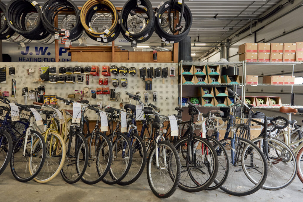
Piccozzi’s Bike Shop (177 N. Ferry Road, Shelter Island, 631-749-0045) rents bikes by the hour, day or week for pickup and return at their shop, which is located next to the oldest Mobil gas station in the U.S., a 10-minute walk from the Shelter Island side of the North Ferry. Take note: Whether you rent a bicycle or bring your own, a helmet is absolutely necessary when cycling anywhere on the North Fork.
Horton Point Lighthouse and One Woman Wines & Vineyard, Southold: six-mile loop
Starting at the Southold stop of the Long Island Rail Road, head southwest on Traveler Street and make a right on Horton’s Lane. Take Horton’s to County Route 48, then dismount and carefully cross this busy road at the stoplight. Once you pass the Ford dealership on Horton’s Lane you’re in farm country, especially after you bear right on Old North Road and become surrounded by fields and farmhouses.
Turn left on Lighthouse Road and roll through a neighborhood of well-tended homes, one of which has a decorative lighthouse in the front yard that isn’t much smaller than the actual Horton Point Lighthouse — which will be on your left at the end of Lighthouse Road. Get off your bike long enough to explore the lighthouse and climb down the many steep steps to Horton Point Beach.
When you leave Horton Point on Lighthouse Road, look for Soundview Avenue Extension. When you see it, turn left. Eventually, beautiful, shady Soundview Avenue Extension becomes the equally beautiful Soundview Avenue, and you’ll get glimpses of Long Island Sound all along its length. Turn right on Mount Beulah Avenue and then left on Old North Road to stop at the low-key One Woman Wines & Vineyard (5195 Old North Road, Southold, 631-765-1200), which grows and produces my favorite Long Island grüner veltliner. You can experience their wines (remember to spit — you are operating a vehicle) in their mellow, recently expanded tasting room.
Go back the way you came on Old North Road and take it to Youngs Avenue, make a left and ride to the stoplight on County Route 48. Dismount, cross carefully and continue on Youngs Avenue to make a right on Traveler Street, which will leave you at your starting point — just two blocks from Southold General (54180 Main Road, 631-458-1275), a nice place for lunch.
The Hamlet of Orient and Narrow River Road: six-mile loop
Make a visit to The Candyman (22350 Main Road, Orient, 631-323-2675) for a little sugar boost via their homemade chocolates or Latham’s Farm Stand (20055 Main Road, Orient, 631-323-8075) for a fresher snack — both are good places to start when you bike the Orient/Narrow River Road loop. Both businesses are on Main Road (aka NY-25), a state bike route with a decent shoulder, but if you follow the route you won’t need to cross it or ride on it for long.
Roll down Village Lane in Orient past historic homes (including some built in the 17th century) and shops, like the Orient Country Store (950 Village Lane, Orient, 631-323-2580) and the Orient Linen Co. (1100 Village Lane, Orient, 631-521-3712). Pause on Village Lane to take in the view of Orient Harbor from the Orient Yacht Club.
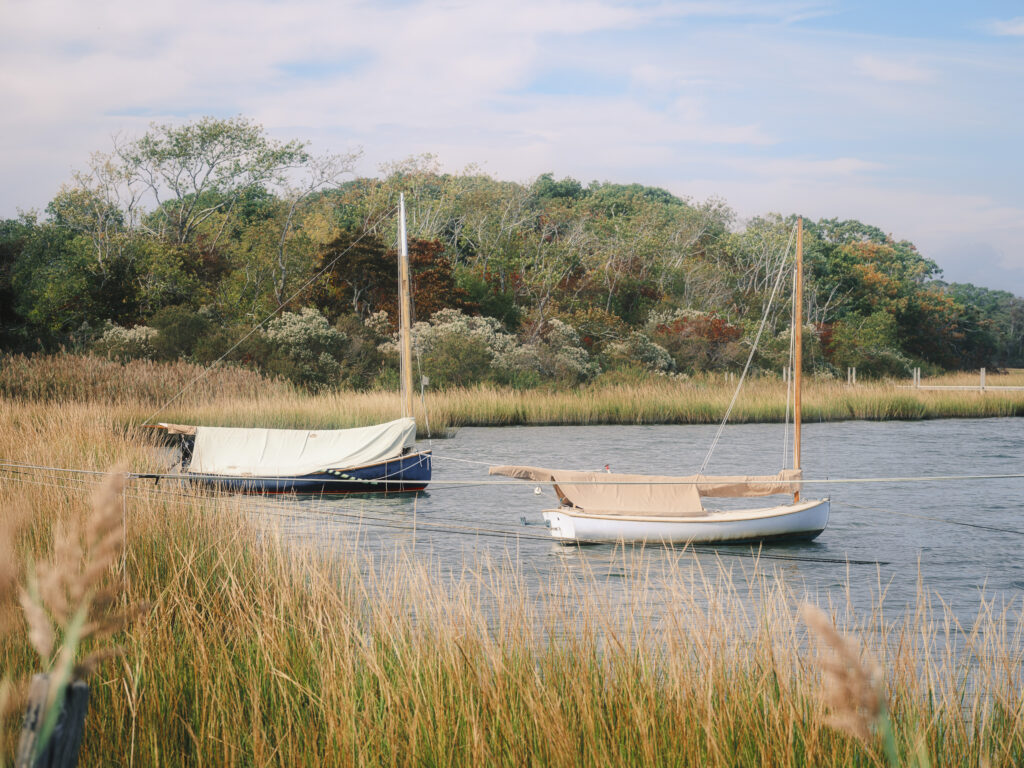
Continue left on Village Lane to make a left to King Street, where you’ll see more charming homes and a farm field or two. When King Street starts to veer sharply left, go right to Harbor Road Beach for another great view across the water to Orient State Park and Shelter Island. Turn around and pick up on King Street, which becomes Narrow River Road, one of the dreamiest places on the East End. Surrounded by salt marshes (the Long Beach Bay Tidal Wetlands Area) on both sides, it’s almost completely undeveloped and you can ride without seeing a single home that was built in this century.
Pass the Narrow River Marina and continue to Main Road. At this point, the meek (and safety-conscious) can turn around and enjoy Narrow River Road in reverse with a right turn on lovely Orchard Street back into Orient. A right on Village Lane and, what do you know, the Orient Country Store is there again to provide a sandwich and piece of pie, which you richly deserve. Afterward, continue north on Village Lane and make a left on Main Road to return to your starting point.
Shelter Island Hills: 10-mile loop
Shelter Island is about seven miles wide and roughly four miles north to south. Compared to the North Fork there are few businesses, and since a third of the island comprises Mashomack Preserve, there is light local traffic (most of which can be found on the north/south road, Route 114). It’s best to avoid 114, as this 10-mile loop does. If you have your own bike, bring it across with you on the ferry ($6 roundtrip) and leave your car in Greenport. If not, come over on foot ($3 each way), and rent from Piccozzi’s Bike Shop, about one easy mile from the North Ferry.
Starting at Piccozzi’s, climb the hill on Route 114 from Bridge Street and take the first left onto Winthrop Road past Dering Harbor Inn on the left, and across a small bridge over the mouth of Gardiner’s Creek. Turn right on Cobbetts Lane, which climbs and then flattens into an allée of oaks and maples after the stop sign at Manhanset Road. Some of the oaks are thought to be over 100 years old.
Cobbett’s Lane ends at Ram Island Road, so take a left and then a right on Ram Island Drive, which leads to Little and Big Ram islands, which were linked by causeway to the rest of Shelter Island in the early 20th century. Many of the telephone poles on the causeway out to Little Ram Island are topped with osprey nests, and if you keep a respectful distance you may observe parents feeding young ospreys the size of chickens and otherwise going about their business. The hill from the causeway up to the top of Little Ram Island is steep but mercifully short. As you cruise down the other side of it and onto the second causeway, you may notice another large hill is looming. It’s short, though, and at the top, your reward is The Ram’s Head Inn (108 S. Ram Island Road, Shelter Island Heights, 631-749-0811), a beautiful hotel and restaurant perched on a hill above Coecles Harbor. The expansive hammock and chair-strewn lawn is a great place to pause for a drink or a bite.
When you turn left out of The Ram’s Head Inn to return to Ram Island Drive, the views on your right will be of Gardiners Bay, with the lighthouse known as Bug Light to the north, looking like an insect perched on the water off the shores of Orient.
At the end of Ram Island Drive, turn right on Gardiner’s Bay Road and then right on Menhaden Lane to one of the loveliest beaches on Shelter Island. When you’ve seen enough, ride back up Menhaden Lane and continue right on Gardiner’s Bay Drive, which becomes Dinah Rock Road as it follows the steep north shore of the Island.
Dinah Rock Road ends at an enormous beech hedge, which was planted many years ago and is one of just two on the eastern end of Long Island, to welcome you to the hamlet of Dering Harbor. Turn right on Manhanset Road and then bear right on Harbor Lane, past some highly impressive Dering Harbor real estate. Ride three quarters around the tiny traffic circle and continue on Harbor Lane past a row of mansions looking out on Dering Harbor.
Harbor Lane becomes Winthrop Road. As you leave, cross another small bridge across the mouth of Julia Dyd Creek and back across Gardiner’s Creek, the ancient heart of Shelter Island, where native Manhanset tribes established a village over 1,000 years ago on the point to your left. To your right will be Dering Harbor, with views north to Greenport. At the end of Winthrop, turn right and go down the hill to Piccozzi’s, where you started.